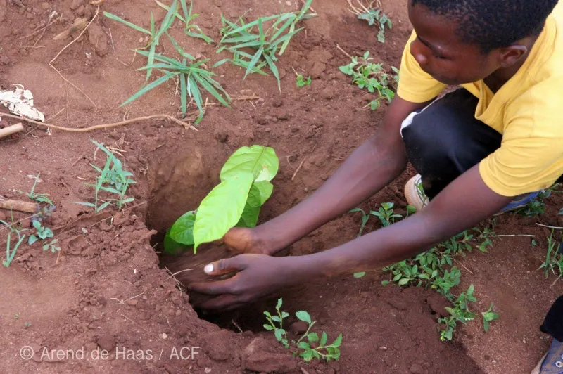
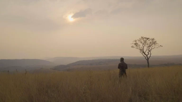
We build local capacity for conservation
Welcome to the African Conservation Foundation, where we actively engage in on-the-ground wildlife and habitat conservation and restoration projects. For over two decades, we have collaborated with community groups and NGOs, fostering partnerships to drive impactful change. Together, we are developing sustainable livelihood options that reduce poverty and conserve biodiversity.
Join us in making a difference
Our projects
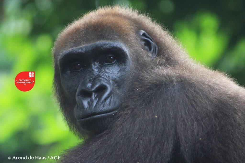
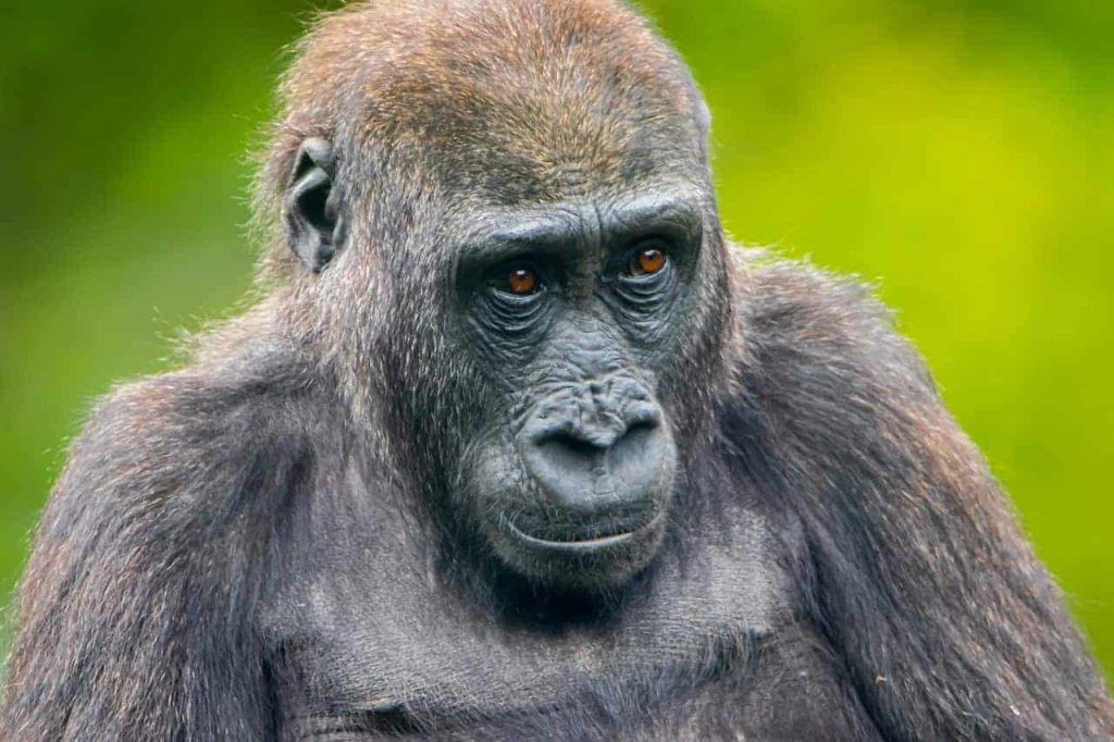
Saving Cross River Gorillas from extinction
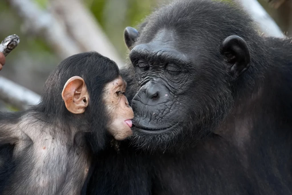
Chimpanzee Conservation
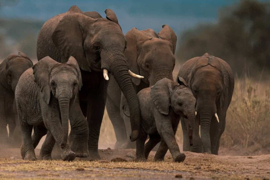
Protecting African forest Elephants
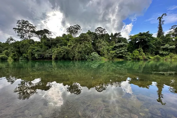
Miombo Forest Restoration
Kahuzi-Biega – Itombwe Wildlife Corridor
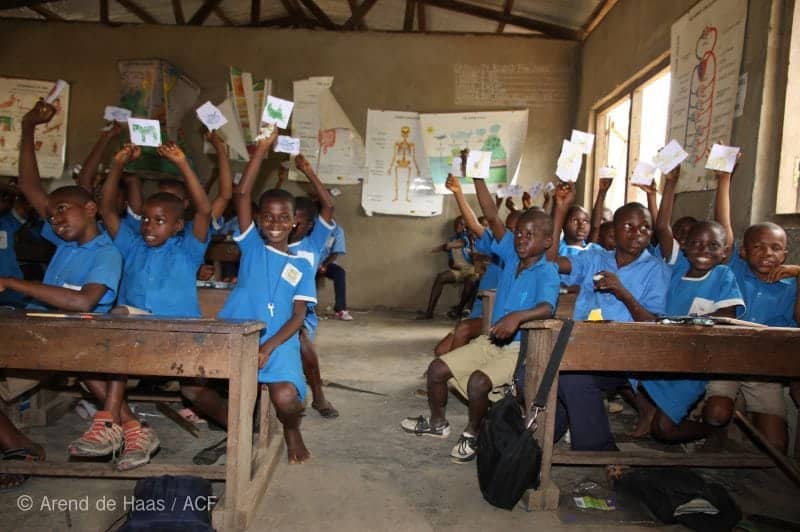
Empowering Youth to Safeguard Wildlife
CURRENT CAMPAIGN
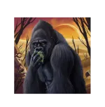
300Gorillas: United by Nature
We are collaborating with WE ARE META to launch an exclusive NFT series and establish a gated conservation community with the aim of raising £1.6 million to protect the Cross River Gorilla, the rarest great ape in the world.
How many are left in the wild?
Africa’s Endangered Wildlife
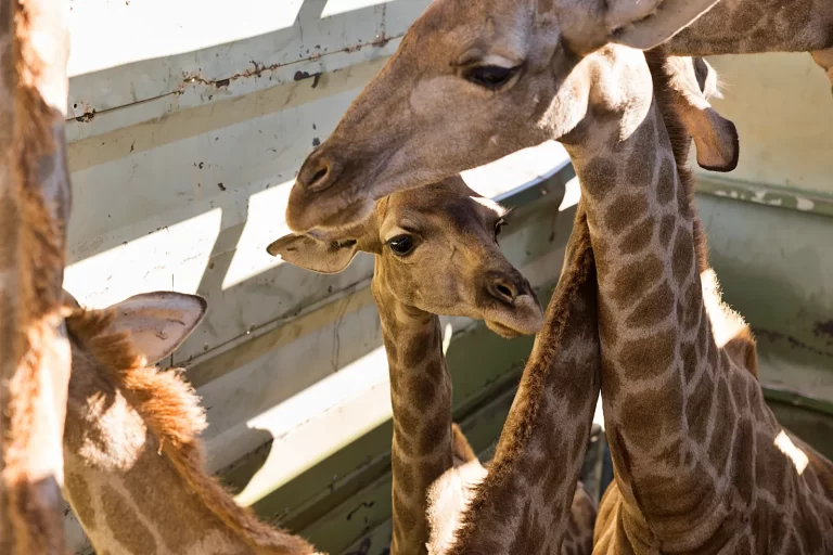
Elephants
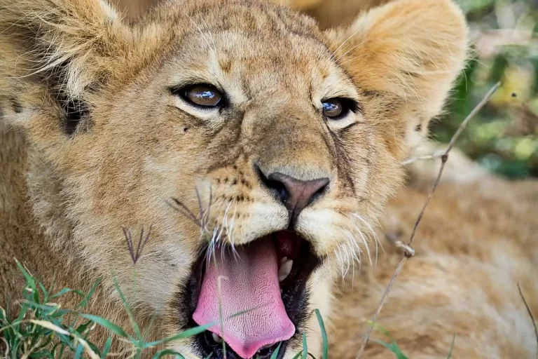
Lions
Black Rhino
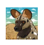
Cross River Gorillas
Conservation news
Stories of Africa’s Wildlife and Landscapes
“I am greatly encouraged by the work of the African Conservation Foundation for they are motivated by the idea that nature and our environment are an essential gift that we need to protect for future generations. After all, what would life be without a clean, healthy and sustainable environment?”
Our Global Partners

Stay connected
Volunteer project